To verify and update land records in each of the province’s tehsils, the Punjabi government has launched a new land survey initiative. Using the newest technologies, including drones, GPS, and satellite imagery, the Punjab Land Records Authority (PLRA) is conducting this land survey. Errors must be eliminated, land conflicts must be resolved, and property records must be easily accessible to everybody.
Tehsil-Wise Land Survey: What Is It?
Tehsils, or districts, are smaller regions that make up Punjab. To provide a more thorough and orderly approach, a tehsil-wise survey gathers and updates land information tehsil by tehsil. Teams create a clear digital record for the government by verifying land borders, owner information, area size, and property type.
You can read more: Door-to-Door Punjab Land Record Survey Starts in Multan Division – 2025 Update
The Land Survey: Who Is Doing It?
Pakistan Land Records Survey
• PLRA, Survey of Pakistan.
• Tehsil Revenue Offices.
• Local Arazi Record Centers.
• Collaboration for digital land records.
The Land Survey: Why Is It Important?
Accurate land records, clear ownership confirmation, land dispute resolution, easy transfers, and assistance for farmers by simplifying the buying and selling of real estate and facilitating their eligibility for government loans and subsidies are some of the benefits of this system.
How Do They Conduct the Land Survey?
Survey Process Overview
• Field Visit: Inspecting land in villages and towns.
• Mapping: Utilizing GPS, satellite images, and drones for boundary measurement.
• Document Check: Landowners providing property documents.
• Data Entry: Ensuring all information is recorded in PLRA.
• Verification: Confirming final land details as official records.
Where Will the Survey Take Place?
Survey in Punjab Districts and Tehsils
• Lahore District: Raiwind
• Model Town: Cantt
• Shilmar
• Multan District: Multan City
• Jalalpur Pirwala
• Shujabad
• Faisalabad District: Jaranwala
• Chak Jhumra
• Samundri
• Thandlianwala
• Rawalpindi District: Rawalpindi
• Murree
• Gujar Khan
• Kahuta
Required Documents for the Survey
Landowner Documents for Survey Teams
• CNIC (ID card)
• Fad (land ownership paper)
• Khasra Number/Plot number
• Mutation/registry papers
• Old land map (if available)
How Can I Verify the Status of a Land Survey?
Online Tehsil Survey Check:
• Visit www.punjab-zameen.gov.pk.
• Click “Land Record Services.”
• Select district and tehsil.
• Enter Khasra number or owner name.
• Check survey completion or ongoing.
| Topic | Details |
|---|---|
| Initiative | Tehsil-Wise Land Record Survey |
| Conducted By | PLRA, Survey of Pakistan, Revenue Offices, Arazi Record Centers |
| Technology Used | GPS, Drones, Satellite Imagery |
| Purpose | Accurate land records, reduce disputes and enable smooth transactions |
| Key Locations | Lahore (Raiwind, Cantt), Multan, Faisalabad, Rawalpindi, etc. |
| Required Documents | CNIC, Fard, Khasra number, Registry, Old land maps |
| How to Check Status | Visit www.punjab-zameen.gov.pk |
| Benefits for Farmers | Easy loan access, proof of ownership, participation in government schemes |
| Crucial Advice | Steer clear of agents, protect records, and notify PLRA of fraud. What Benefits Does It Offer Farmers? |
New Survey for Farmers
• Helps prove land ownership.
• Facilitates application for bank loans and government schemes.
• Avoids disputes with neighbors.
• Especially beneficial for villagers and rural tehsils.
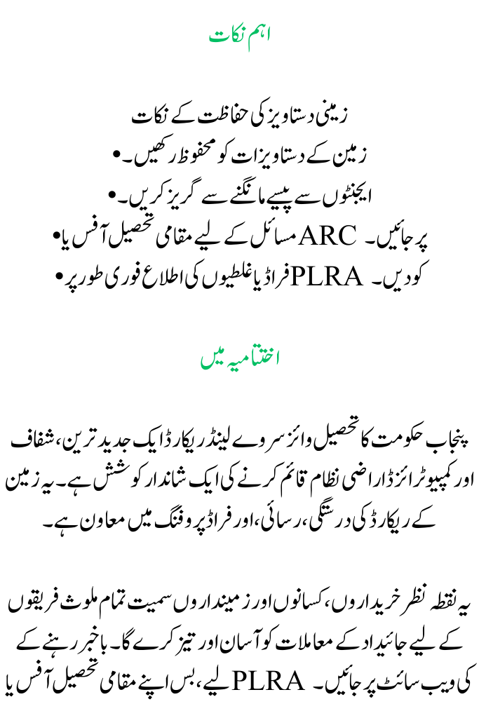
Crucial Tips
Land Document Safety Tips
• Keep land documents secure.
• Avoid agents asking for money.
• Visit the local tehsil office or ARC for issues.
• Report fraud or mistakes to PLRA immediately.
You can read more: Door-to-door Punjab Land Record Survey in Toba Tek Singh 2025 starts
In Conclusion
The Punjab government’s Tehsil Wise Survey Land Record is a fantastic endeavor to establish an up-to-date, transparent, and computerized land system. It contributes to the accuracy, accessibility, and fraud-proofing of land records.
This approach will simplify and expedite property matters for all parties involved, including buyers, farmers, and landowners. To keep informed, simply visit your local tehsil office or the PLRA website.

FAQs
1. What is the objective of Punjab’s Tehsil-Wise Land Survey?
Verification and digitization of land records in all Punjabi tehsils are the goals of the survey. It guarantees accuracy, facilitates the settlement of property disputes, and provides farmers, purchasers, and landowners with easy access to ownership facts.
2. How can I find out how the land survey in my tehsil is progressing?
You may visit www.punjab-zameen.gov.pk to check:
- Select “Land Record Services.”
- Choose your tehsil and district.
- Enter the owner’s name or your Khasra number.
- For updates, check the survey progress or stop by the Arazi Record Center (ARC) in your area.
3. For the land survey team, which papers should I have on hand?
You ought to have:
- Your CNIC (identification card)
- Fard (document proving land ownership)
- Plot number or Khasra number
- Registry or mutation documents
- Old land maps, if any are available
